This September is the 45th anniversary of North Carolina's Mountains-to-Sea Trail. Friends of the MST has encouraged folks to celebrate by hiking 45 MST miles this month. As I hadn't been away from Durham since July 31, I took this as motivation to hike out of town.
Part I: "to," Saturday Sept. 10
My plan was to start hiking the second weekend of September, with a section of the MST in Doughton Recreation Area, but hurricane Earl, brewing far off in the Atlantic, had other plans, drenching much of NC in rain. Yet the forecast in Durham was decent until that Saturday afternoon--so plans switched to an Eno River hike instead, from the Pleasant Green access to Penny's Bend. Friends joined me for the first 5 miles. The weather held up until the last half hour, but it was fun to get drenched knowing it would just be for a short time. Thanks to S for providing shuttle service.


 |
| This spider lily isn't native to the U.S. |


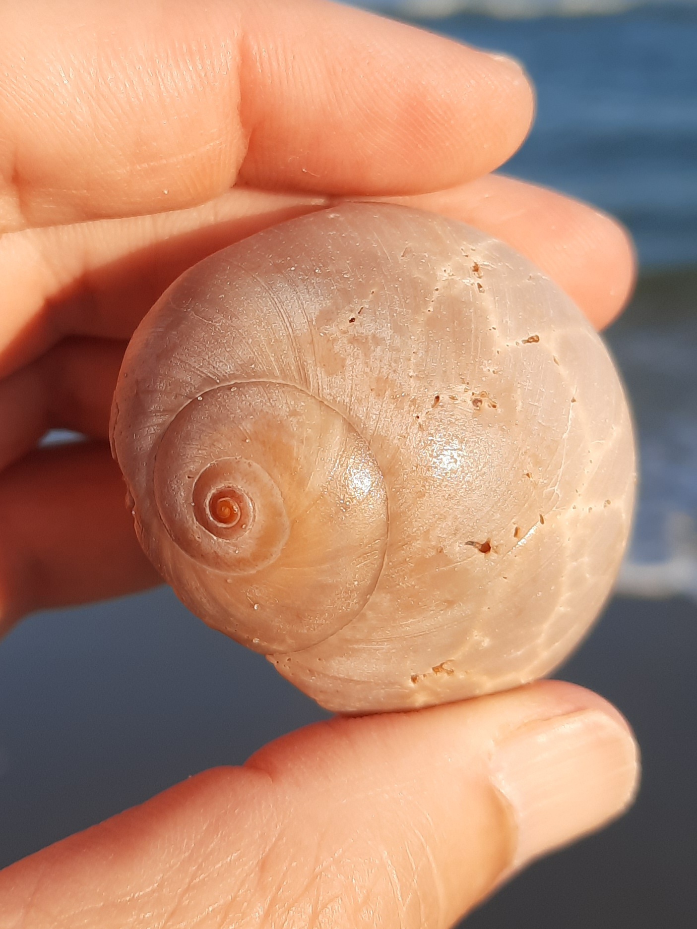
The next Friday, I headed to Ocracoke. My original plan was to drive to the north end of Ocracoke on Saturday and walk back to Ocracoke village, then walk back to the north end on Sunday to pick up the car. But I arrived late afternoon on Friday, and how can one resist a walk on the beach? I ended up covering almost 11 miles that evening, from town to Ramp 67 and back again, so I sucked it up and completed the rest of the island on Saturday morning (Pony Pen access to the north end ferry dock, back south to Ramp 67, and then back to Pony Pen). On Sunday, I treated myself to a mostly non-MST walk to the south end of the island, where I finally found the sand dollar I had been searching for for a friend.
Friday evening:
Sea turtle nests abounded:


 |
| See the sun just coming up on the horizon? |
 |
| Looking south... |

 |
| One less straw to get stuck in a sea turtle's schnozz, and one less plastic bag to be mistaken for a jellyfish, at least for now. |
 |
| Hope springs eternal |


 |
| More orange-browns than on Ocracoke |
Part III: "Mountains," Saturday September 24
By the end of my Ocracoke trip, I had reached the 45-mile goal and then some, but had only covered the "Sea" and "to" parts of the trail (poor Eno River, reduced to a preposition!). So yesterday, S and I drove west to Doughton Recreation Area for a 12.5 mile "Mountains" out-and-back hike. The forecast was "partly sunny" with a 10% chance of rain; thus we learned about mountain micro-climates, and were grateful we had both brought rain jackets with us.


