Tuesday, December 5, 2023

Scotch bonnet bonanza

A few weeks ago, we made our annual migration to Ocracoke for Friendsgiving. I walked over 100 miles that week. Seventy-eight miles in, after a day of strong winds followed by a day of rain followed by a day of calm, I found a large, colorful, slightly less elusive scotch bonnet--my second find in about ten Thanksgivings of searching:


And I thought, "my work here is done."

I walked another mile or two, and then I found this:


...and I thought, "Okay, maybe my work here isn't quite done."

Several miles later, at the NE end of the island, a gaggle of adultlets picked me up, with the plan of stopping off on the drive SW to see some elusive shipwreck remains--either the Steamboat Home (wrecked 1837) or the Nomis (wrecked 1935).


An excavation effort ensued...


...and was then filled back in for the next meanderers.


 On the way back to the car, K found yet another scotch bonnet...


...but we didn't take it home, because it was already claimed.


Monday, October 23, 2023

Local Legend update

10/29/2023 CORRECTION: Silly me, the post below isn't about "Glendale uphill - dead end to Clark," it's about "Glendale dead-end uphill." So many Local Legend laurels to be claimed, all in basically the same place! This either means there's a lot of glory to go around (hooray everyone!), or glory is diluted. But I guess it also means I'm free to pummel the "Glendale dead-end uphill" record into the ground, starting today... 

---------

Well that was short-lived. I'm back to Othered status, i.e. being the female Local Legend on Strava, but not the actual definition-of-local-legend Local Legend. That Non-Othered-Human-a.k.a.-Male status has been taken over with a vengeance by Matt B, who has recorded a whopping 35 efforts in the past 90 days, compared to my now-16.


Since Matt B wasn't the person from whom I stole Non-Othered-Human-a.k.a.-Male Local Legend status last week, he must have done something similar to what I did--i.e., either walking/running back and forth or in repetitive circles. He's added 22 "attempts" since last week, for an average of almost 3 attempts per day.

I like to imagine that Matt B is knows John S. I don't wish ill on either of them, but maybe John S has the flu or something, and Matt said, "hey buddy, I know you can't win this back right now--curses, flu!--and I know how much being the Local Legend on 'Glendale uphill - dead end to Clark' meant to you, so let me run it for you. I'll run it and run it, again and again, so that Liz P can't take it back." And John S gave his blessing to the plan, and Matt B donned his sneakers for his friend, and went out into the sunshine or the pouring rain, and made sure to go north-to-south repeatedly on that segment, because Strava doesn't count south-to-north, until he passed by then-12 efforts, and he kept going, each day, for a whole week, until he had 35 efforts and figured the record was safe for a while, because that's what friends do for friends.

I admire that devotion. Consequently, I will abstain from walking back-and-forth 23 times to re-take the digital golden laurel crown, because that's the kind of generous person I am.

Tuesday, October 17, 2023

Hand over that Local Legend, dammit

A few weeks ago at a dinner party, I got embroiled in a discussion about Strava culture. 

Strava is a social-networking app for athletes. S, who insists he does not use social media, has been using Strava for years, and enjoys its social aspects.

I started using Strava two years ago, when I was searching for an app that would map my cumulative yearly miles. I ignore its social aspects.

I don't remember how the discussion began at the dinner party, but at some point, S mentioned that another Strava user had contacted him out of the blue to object that S couldn't possibly have completed a ride at the speed he had recorded.

It was true: that was the ride where S's brakes malfunctioned, causing a crash that briefly knocked S out and fractured both of his elbows. When he came to, he had somehow made it across the street onto a Good Samritan's porch. He phoned home to ask for a ride, and E and I drove out to the country road where he was waiting for us, bleeding and dazed. We loaded S and his bike into the car, and for the entire drive to the ER, he kept saying "I don't understand why I crashed; good thing I don't have to go to the ER this time... I don't understand why I crashed; good thing I don't have to go to the ER this time... I don't understand why I crashed; good thing I don't have to go to the ER this time..." Then we waited in the chilly ER for a few hours, while blood trickled down his shins and hands and face, until the adrenaline gave way to pain, and he was finally seen and diagnosed.

Anyway, at dinner, I commented that I thought it was weird that someone would bother contacting S about his excessive speed (which had been recorded by the Garmin attached to his bike in the trunk of our car on our way to the ER), in effect accusing S of being a cheater. I thought it was weirder still that S had responded by deleting the offending segment of his ride. Why not save it to remember the elbow-cracking ride, and the fun drive to the ER? 

That's when I was taught that people use Strava to measure their own self-worth by comparing their speeds and distances to the speeds and distances of others. 

S explained that people have died trying to win speed records on Strava--that people have ridden through red lights in order to be the fastest going down a particular hill, and instead of winning, they get hit by a car, or they mow down and kill pedestrians, or whatnot. It got so bad, he said, that Strava has made changes to how it defines "segments," to try to reduce the likelihood of virtual competitiveness killing someone. (This might be true, but all I could find by googling the topic were articles explaining changes to Strava's terms of use, which now require users to assume responsibility for their own stupidity, and to not sue the company.) 

S and I each thought that social-networking app-induced deaths reinforced our own POV--his, that accurate records are necessary for competition; mine, that the only person you should be racing against is yourself. 

My walking records are for my use only. If my Garmin watch can't find a satellite from inside, say, a slot canyon in Utah, and it adds some scraggly half miles trying to figure out where I am, that's my problem, not another slot canyonist's; I'm not going to delete the hike. I figure these sorts of bonus distances are compensated for by all the unrecorded miles I walk indoors. No one else on Strava would know that, but I don't need them to; I'm recording miles for myself, and if I can't trust myself, why should anyone else? 

To emphasize my point, I mentioned the randomness of Strava's Local Legend status. Local Legends are people who complete the same segment the most times withing a 90-day period. Strava notifies me when I become a Local Legend, and again when--oh no!--someone takes the status away from me. These are often uninspiring segments--a random three block distance on an unremarkable street that some Strava user decided needed to be turned into a named segment. 

When S and I visited Horseshoe Bend in Arizona in March 2022, I briefly held the Local Legend title for "most attempts completed" on the "To the Bend" segment. As I blogged then, "The number of 'efforts' was a whopping two, because we had 45 minutes between our arrival at the overlook and sunset, and decided to kill time by walking back to the parking lot to use the pit toilets, then walking back to the overlook again. The record was seized by another walker the very next day, who 'set the new bar,' also with '2 efforts,' so either she walked faster or peed faster."

My point was that Strava invents unnecessary, meaningless competition.

I present all of this backstory to explain why I was surprised to suddenly find myself caring about competition on Strava.

This past Friday, Strava emailed to tell me I was a Local Legend, for the segment "Glendale uphill - dead end to Clark."  

Except that I wasn't the Local Legend. That honor went to someone who had walked the route nine times, while I had walked it only four.

Turns out Strava has two categories for Local Legends: (1) people Freud would call normal "all presumed male athletes" and (2) The Other "women." I thought maybe I was seeing these two categories because Strava knows I'm female, but it shows up this way on S's app too, and Strava knows he's male.

All athletes

Women

This struck me as even more obnoxious than the existence of Local Legends. Why should women need their own category for number of attempts for a random 3-block stretch of unremarkable road? 

Moreover, we have neighbors who live on that stretch (the neighbors who hosted the dinner party!). They walk their dog every day, and surely have walked this segment more than nine times in the past 90 days. But they aren't Local Legends because they don't give a sh*t about Strava. The point, again, is that Local Legendhood is meaningless.

Nonetheless, being categorized as Other, a.k.a. female, ticked me off enough that on Sunday, when I needed to top off my walking miles for the week, I decided to walk back and forth along "Glendale uphill" for a cumulative total of six miles. Mostly what I thought, as I pummeled the now former Local Legend John S's record into the ground, was "this was fun at first, but now it's pretty boring."

When I got home, Strava congratulated me on becoming the Local Legend of not only "Glendale uphill - dead end to Clark," but also "Glendale: Markham to Knox."* Bonus! I guess this currently makes me a fourfold Local Legend, since being first in the category of non-Othered human also makes me first in the "women" category--which just goes to show how stupid all of this is.


Despite all of this, Strava is still pretty good at mapping my yearly miles.

*Another strike against Strava: lack of consistency in segment-name punctuation. You'd think they'd have standards, but you'd think wrong.

Sunday, October 8, 2023

National Week With[out] Driving, the end

On Saturday, I walked from my hotel to my workshop on campus. We wrapped up early enough that I could dash over to the Everson Museum of Art for a quick look at their current ceramics exhibits.


Self Sufficient, by Lois Hennessey, 2002

Clockwise from bottom: Peter Voulkos, Voulkos, Antonio Prieto, Harrison McIntosh

Jug, Peter Voulkos, 1950

Fish Monster, Sascha Brastoff, ca. 1948

Sex Monster, Sascha Brastoff, ca. 1948

Assorted pots from the Rosenfeld Collection

I left earlier than I would have liked, due to intense set-up activity for a wedding...  

Afterward, I walked over to my favorite vegan restaurant anywhere, Strong Hearts, for a quick dinner, then filled another 45 minutes with more walking, until I had to catch an Uber to the airport.

Public art en route

Strong Hearts--so tasty!

S lived on this street for one semester, before we both got jobs at Nearly Ivy U 

It was a drizzly weekend, but I enjoyed being immersed in autumn

Can you see the three deer? There's a tail pointing out toward the end of the sidewalk... 

Brilliant autumn. Love it!

I arrived at the airport a little after 6pm. The clouds and setting sun were putting on quite a show. 


I changed planes at IAD. I wanted to walk from incoming concourse A to outgoing concourse D, but the only way to get between them is by shuttle. Oh well. 

Upon landing at RDU at 11:30pm, I walked to the parking deck, got into my car, and drove home.

Total cost for two days of airport parking: $40. Had I traveled to/from RDU via Uber, the cost would have been ~$90 including tips.

Total cost of Ubers from/to the airport in Syracuse: $60 including tips. Syracusans who park at their airport for two days would pay $26-$36.

--------

This morning, Sunday, I passed on an invitation to go hiking at Hanging Rock State Park. I've spent more time in cars during this national Week Without Driving than I do most weeks of the year.

As I wrap up this post, an email has just landed in my inbox from Consumer Reports with the subject header "Your next car is waiting." Oh dear, I don't think so. 

I'm heading out the door now for a long walk.

National Week With[out] Driving, take 3

On the Friday of the National Week Without Driving challenge, I flew to Syracuse, NY, because I was presenting a writing workshop on Saturday. 

How does one get from my home to the airport at 5am on a Friday?

Mass transit is not an option. We have no light rail to the airport. We have bus service, but the earliest weekday bus leaves the downtown Durham station at 5:42am, and takes a little over an hour to get to Terminal 2. My flight left at 6:45.

My choices: 1) take an Uber, $40+ one way excluding tip; 2) ask a friend to get up at 4:something a.m. to give me a ride; or 3) drive myself there in 20 minutes, park in the convenient garage right across from the terminal, and have my car waiting for me when I landed back at RDU at 11:30pm Saturday night so I could drive myself home.

I drove.

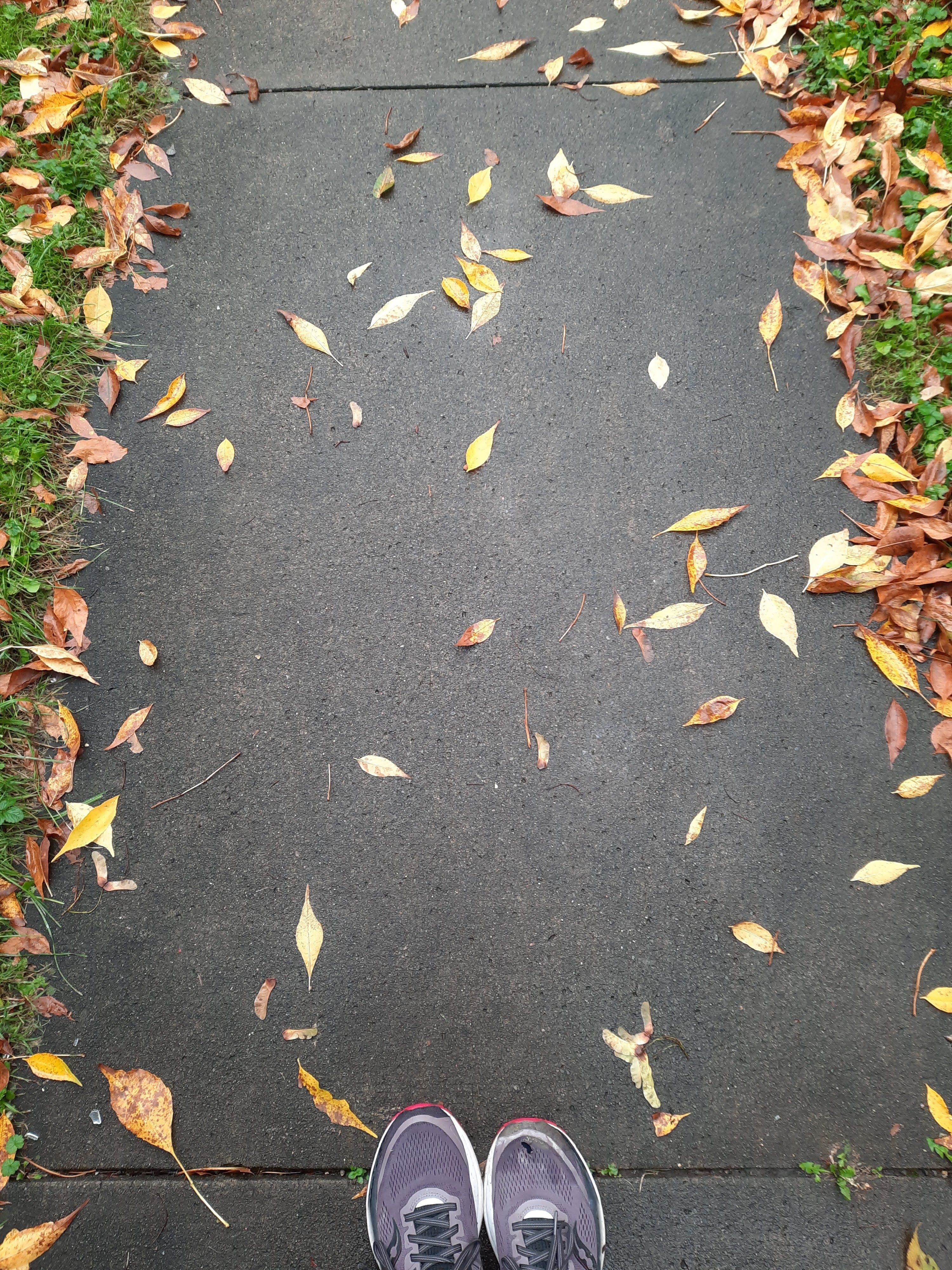
Once I landed in Syracuse, I had almost 6 hours before I needed to meet up with my workshop hosts. Since I was significantly behind on walking miles for the week, I plugged my cellphone charger into an outlet at the airport and looked up potential walking routes from the airport to my hotel near the university.

The two options I found were 9 and 11 miles. 

Since I was traveling with only a light backpack, walking was a real option--except that I didn't know the area. I googled crime statistics, and the areas I would need to walk through had lower reported crime rates than the neighborhoods around the university. 

The 9-mile option offered a designated bike trail--the Bear Trap Creek Trail--that offered a safe route for 3.8 miles paralleling the freeway, and would end near neighborhood roads that looked easily walkable on the map--except that getting from the airport to the start of the trail involved a big freeway interchange that looked potentially challenging. The 11-mile route required cutting around the back of the airport on a cargo road through an industrial area that looked like it would probably be an ugly slog.

I took an Uber (~$30 including tip, expense covered by workshop hosts).

I asked the driver his opinion about whether walking the whole way was actually feasible. He was confident it was, and changed his route to the hotel so that he could point out a potential road to walk on. "Look at how wide the shoulder is," he said; "it's like that the whole way!" Having walked on a lot of shoulders in Durham, it looked doable, if largely commercial. Maybe next time.

When I checked in at my hotel, I asked whether there was a safe walking route to Lake Onondaga. When my partner, S, briefly taught at SUNY ESF 23 years ago, Lake Onondaga was contaminated with toxic chemicals; swimming had been banned in 1940, fishing followed in 1970, and in 1994, the EPA  added the lake to the list of national priority Superfund sites. Now the lake is cleaner than it's been in over 100 years, and that seemed like a good reason to make it a destination for a walk.

I asked the hotel receptionist, "can I walk there safely, or am I likely to get run over by a car or shot?"

She thought I'd probably get run over. The adjacent receptionist interrupted another customer's check-in to agree. They insisted over and over--with the other customer patiently waiting--that traffic was awful, there was no safe route, and I'd surely get hit by a car. Adjacent receptionist advised me to take a nice 1.5-mile walk around a nearby park instead.

They didn't know--and I didn't know, until I walked to the lake despite their warnings--that the Onondaga Creekwalk could safely get me most of the way there, starting just a few blocks from the hotel. The Creekwalk is part of the Empire State Trail--New York's equivalent to NC's Mountains-to-Sea Trail.

Walking is my favorite way to get to know an area, and Syracuse offered a lot to see and learn.

The most challenging spot was crossing the street a few blocks from the hotel. Note that the teeny tiny yield sign (half the size of the right-turn arrow sign) tells drivers to yield to pedestrians--yet there's no zebra-stripe crosswalk. I found a safer place to cross.


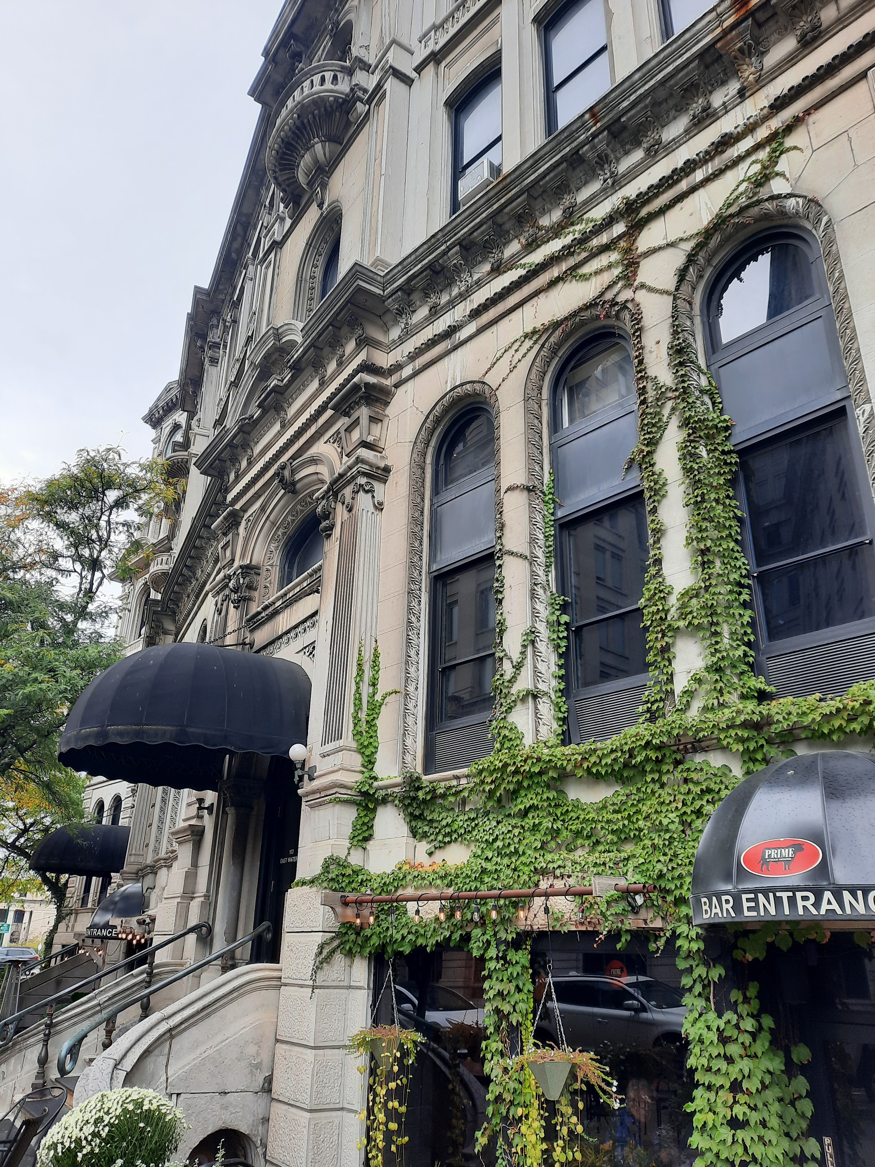
Syracuse has public art. Which of these buildings are buildings, and which are murals?


Syracuse has monumental architecture...


Syracuse has statues. I could tell even from the back side that this was a statue of Christopher Columbus. Note that he's basically standing atop the heads of Native Americans. This 1934 statue in theory celebrates Syracuse's Italian immigrants, but I was surprised that the blatant colonialist imagery had lasted into 2023. Googling later for more information, I was glad to read that the sculpture has generated some controversy, and that city government is hoping to remove it.   


More welcoming than the Columbus statue...


Impressively flat flatiron building:


Art in front of Clinton Square Fountain...


A statue depicting the "Jerry Rescue." The 1850 Fugitive Slave Act required citizens in free states to cooperate in returning fugitive slaves to their enslavers. William "Jerry" Henry was a fugitive who had been enslaved in Missouri and had fled to Syracuse in 1849. His enslaver made a claim for his return, and Jerry was arrested in Syracuse on October 1, 1851. An abolitionist mob stormed the jail the same day, extricated him from his captors, and aided his eventual escape to Canada.


The 1932 art deco Niagara Mohawk Power Building: 


Well whaddya know, there's a designated trail the entire rest of the way to Lake Onondaga.... 


...with wildflowers...


...and safe routes under busy streets...


A detour was required...


...due to a bridge that was out.


I took a detour from the detour and instead crossed the creek one bridge earlier.


While the lake is now clean enough to swim in in some areas, it's still not safe to eat fish from the creek or the lake.  

Syracuse

(Unsafe fish: that's something the Creekwalk has in common with Umstead State Park in NC.)

Raleigh

The Trail was undergoing more construction near the harbor, which required additional detouring... 


I rejoined the Empire State Trail beyond the harbor. The trail along the lake was lined with solar-powered lamps:


Behind the lamps, the Onondaga County Department of Water Environment Protection was burning gas from sewage treatment...


The trail crossed over the train tracks...


...and down to the lake.


Lake to the right, freeway to the left. The exit sign on the freeway aims drivers to the NY State Fairgrounds.


A lotta snails were out and about...


Heading back over the bridge above the train tracks...


I decided to take a different route back, rather than returning on the Creekwalk. As buildings became increasingly run down, I adjusted my route to aim back into downtown. The graffiti at the top of this building says "Love Will Tear Us Apart." It must have been painted upside-down from the roof--an impressive feat.


Back past the Niagara Mohawk Building...


And back past another not-quite-flat-iron building...


Ta da! 11.3 mostly scenic miles, and I didn't get run over even once.